Description
1100mm x 720mm
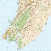
Navigation marks and marine chart approaches from Cuiver Island to East Cape.
Depth is in metres
MATT LAMINATION FINISH
Also available in paper folded or flat $30.00 please enquire
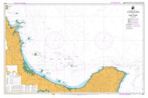
$65.50 Excl G.S.T $75.33 Incl G.S.T
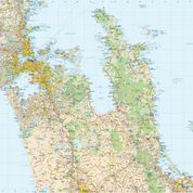
North Island – East Coast. Marine chart of navigational marks IALA Maritime Buoyage system region. Depths in metres Scale 1:300 000 (41 )
Only 1 left in stock
1100mm x 720mm
Navigation marks and marine chart approaches from Cuiver Island to East Cape.
Depth is in metres
MATT LAMINATION FINISH
Also available in paper folded or flat $30.00 please enquire
![]()
MapCo NZ Ltd
New Zealand, Maori, Pacific and International
Maps and Globes

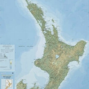
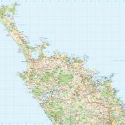
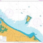 Approaches to Tauranga Harbour Marine Chart