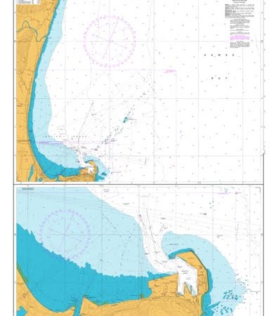
• 0Shopping Cart
MapCo NZ Ltd - Maori, Pacific Island and New Zealand Maps
  • Home
  • About Us
  • Shop
    • New Zealand
      • New Zealand
      • Regions
      • Marine
      • Topographical
      • Atlases
      • Folded
      • Others
    • Maori
      • Maori Maps
      • Maori Books (Pukapuka)
    • Pacific Islands
      • Pacific Ocean & Islands
      • Others
    • World
      • World Maps
      • Atlases
      • Folded
    • Countries & International
      • Countries
      • Continents
      • Atlases
      • Others
    • Speciality
      • Religious
      • Tectonic Plates
      • Others
    • Charts & Posters
      • Music
      • Human Body
      • Solar & Space
      • Animals
      • Early Learning
      • Others
    • Globes
      • Illuminated
      • Table Globes
      • Inflatable Globes
      • School Globes
  • Testimonials
  • Contact Us
  • 0276410665
  • Search
  • Menu Menu
  • Facebook

Cuvier Island to East Cape Marine Chart

$65.00 Excl G.S.T $74.75 Incl G.S.T
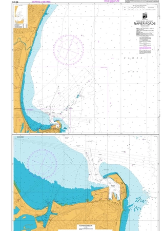
Category: Marine Tags: Harbour chart, Marine Chrt, Tauranga Marine
  • Description

Description

NZ54

1100mm x 720mm

Depth is in metres

MATT LAMINATION FINISH

Related products

  • Cuiver Island to East Cape Marine Chart

    $65.50 Excl G.S.T $75.33 Incl G.S.T
    Add to cart Show Details
  • Poverty Bay to Gisborne Marine Chart

    $65.50 Excl G.S.T $75.33 Incl G.S.T
    Add to cart Show Details
  • Motiti Island to Pehitahi Point Marine Chart

    $65.50 Excl G.S.T $75.33 Incl G.S.T
    Add to cart Show Details
  • Approaches to Tauranga Harbour Marine Chart

    $65.50 Excl G.S.T $75.33 Incl G.S.T
    Add to cart Show Details

MapCo NZ Maps
MapCo NZ Ltd
New Zealand, Maori, Pacific and International
Maps and Globes

Enquires to [email protected]

Please see our Website www.mapco.co.nz

Leon Smith 0276410665


Contact Us

[email protected]

0276410665

© Copyright - MapCo NZ Ltd
  • Facebook
Marlborough Sounds Marine Chart New Plymouth
Scroll to top